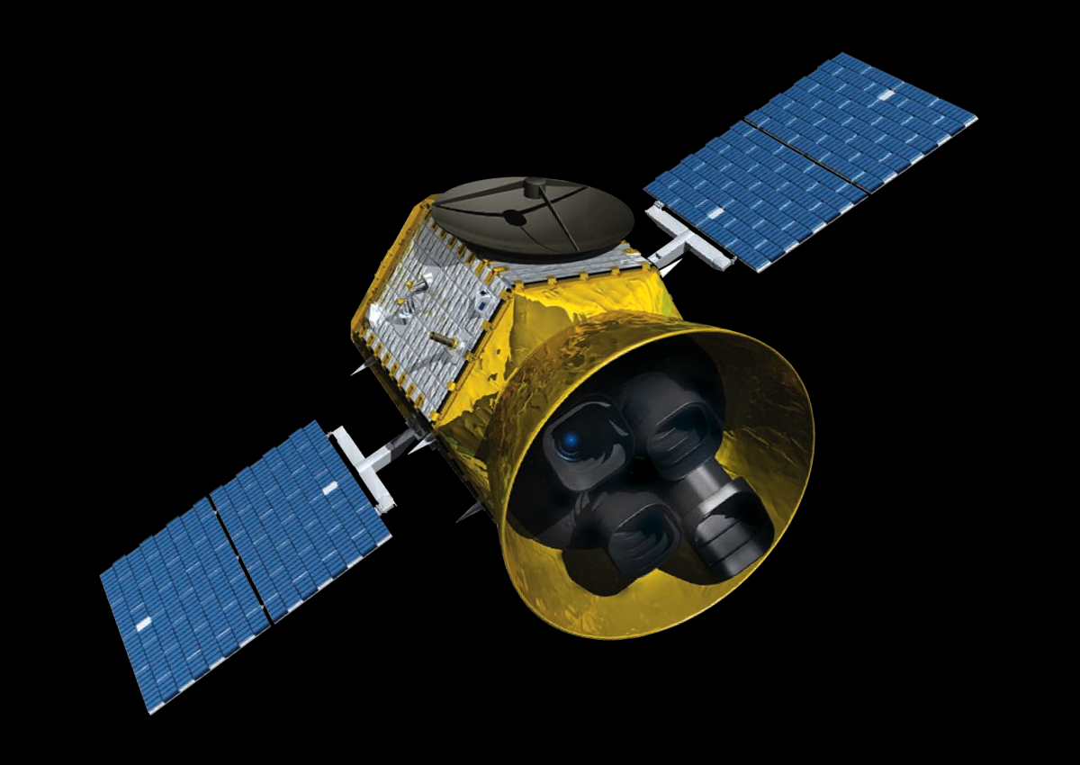
Poseidon I
---------------------------
Poseidon I is a large class of super satellite that can view fifty percent of the earth at a time. It's main mission is to scan the oceans for tsunamis and seismic activity to keep a record of which parts of the Earth have the most seismic activity over a ten year period. The rocket can last for two decades before it either crashes into another satellite or decays. NASA has a similer rocket called Aqua that scans the Earth's oceans for the water cycle. Using both of our data and NASA's satellite data we can create a data base on where earthquakes and tsunamis are most likely to happen.
Poseidon I is made of two solar panels and a big L.E.D. light to have a better view of the oceans when scanning. It's battery has a gold foil wrapping to protect it againsed strong solar winds. The rocket it is beinng launched out of is called a spacehook which is not really a rocket at all. If you have seen the news feed on the home page you can learn more about the spacehook, the basic concept of the spacehook is that it can grab things from the earth from space and put them into orbit without the need of any rocket or rocket fuel. Poseidon I can also be riged on command to explode on a astroid to get it away from earth if that situation ever happens.
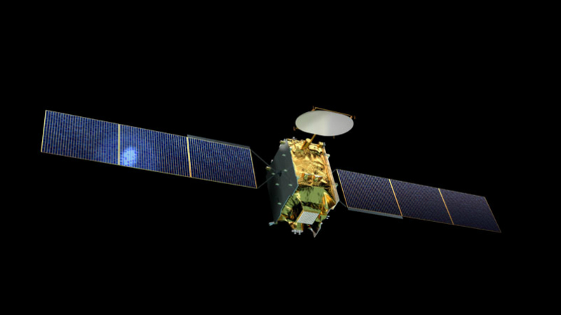
Poseidon II
---------------------------
Poseidon II is a rocket that has a single purpose, travel to Mars and take a 3D mapping of the landscape so we can sell it to Google Maps for $$- I mean as funding for future expeditions. The launch will take place along with Poseidon I in June of 2023 with high expectations on what this satellite can do we are expecting a interactive explore mars page on our website about 2 months after launch. This satellite is going to be send to mars with a spacehook but a newly designed one that can spin and send things to mars withen a three month timespan.
Poseidon II is made of extra large solar panels to catch every last bit of sunlight from the sun, since it only gets 80% of the sunlight that earth gets. The software that the satellite uses is called AScope it meshes all types of light together to make a interactive map of Mars that can be viewed in ultraviolet, infred, radiowave, and microwave light, this is why the satellite is so large, it has many types of video and photography cameras.